
Basic information
Sázava town – flood protection measures
Country: Czech Republic
Year: 2012 — 2017
Customer: Povodí Vltavy, state entreprise Sázava Municipality
Category: Flood protection, Environmental engineering, Project management


Technical parametres
Nominal flood level – Q100 (636 m3/s)
Area of interest – river km 53,562-54,258
Protected area left river bank – 28 482 m2
Protected area right river bank – 69 785 m3
Reconstructed river bed construction object 01 – length 599 m
Reconstructed river bed construction object 01 – capacity 80 m3/s
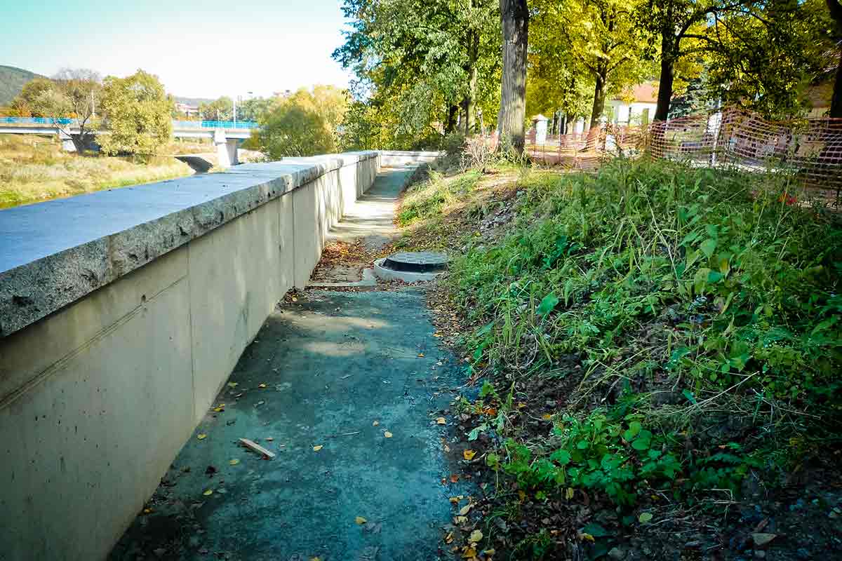
Protecting wall left river bank – total length 290 m
Protecting wall left river bank construction object 02 – max. Height 3,5 m
Protecting wall right river bank construction object 03 – length 613 m
Protecting wall right river bank construction object 03 – max. Height 5 m
Protecting line left river bank construction object 04 – length 319 m
Protecting line left river bank construction object 04 – max. Height 3,2 m
Road slope object construction object 06 – length 157,75 m

Description
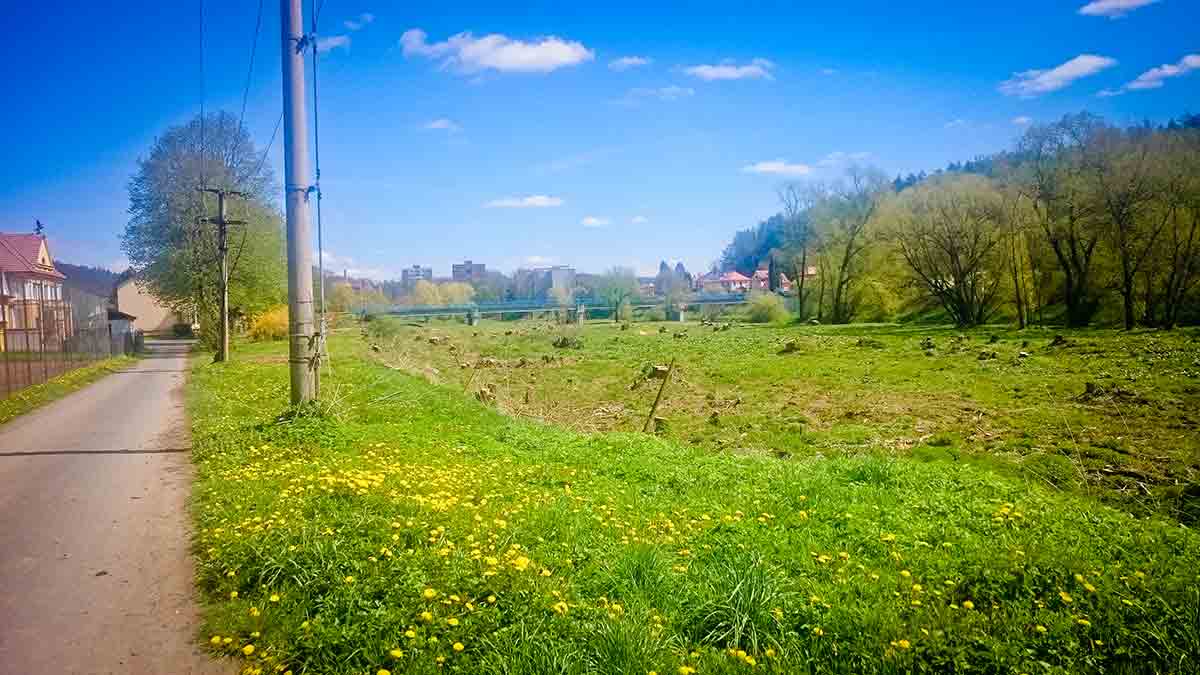
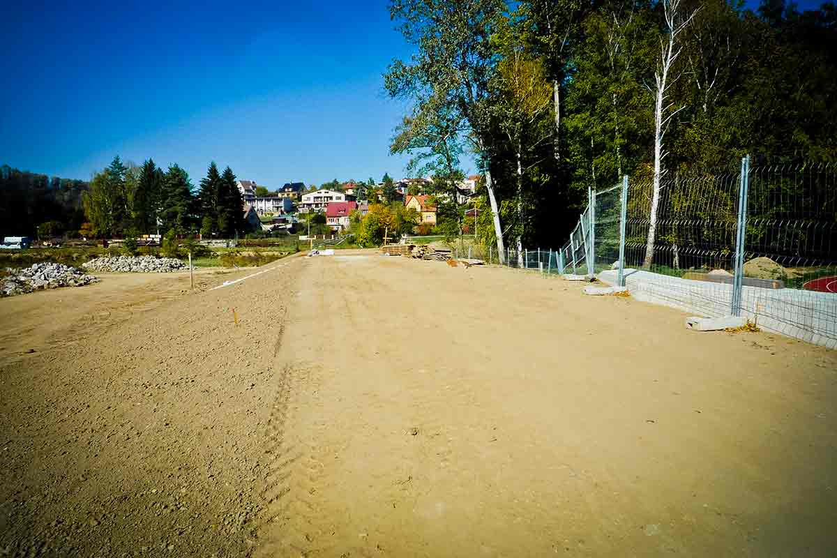
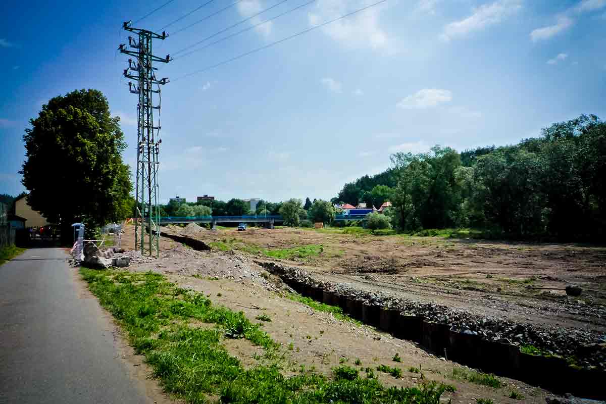
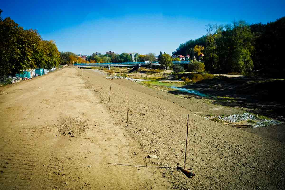
Flood protection of the historical Sázava town is solved on both banks of the Sázava River and its left side tributary Dojetřický Stream. The flood protection is designed as a combination of usual flood protection elements, such as increasing the existing river capacity by constructing a release canal in total length 599 m, and construction of protection structures against water spillover into the inhabited areas. The flood protection consists in a combination of homogeneous earth dikes, embankment walls and portable barrier systems in total length 1,222 m. A part of the flood protection design in the inhabited areas is a cross-over of a set of networks including water piping, sewerage, electrical cabling, public lighting, communication cables, gas piping and rain sewer. The project area lies in a protected area of national cultural monument (Sázavský monastery) and an environmentally significant area (Natura 2000).
Responsible for the technical solution design of the flood protection line, providing a full portfolio of surveying works including defining the extent of the surveys, negotiating over the proposed solution with the interested authorities, project management and construction supervision. Design for zoning permit, design for building permit, Study of drainage conditions, Documentation for construction implementation.