
Basic information
Inginiyagala dam and hydropower plant rehabilitation
Country: Sri lanka
Year: 2013
Customer: MPI Group, s.r.o.
Category: Hydropower engineering, Dam engineering,Civil engineering, Project management


Technical parametres
Inginiyagala dam – 1948-1952
Volume of the reservoir – 950 mil. m3 (biggest reservoir in the country)
Irrigated area – 445 mil. m2
Dam – height 47 m, length at crest 1100 m (tallest dam in the country)
Safety spillway – height 25,9 m, length at crest 320 m
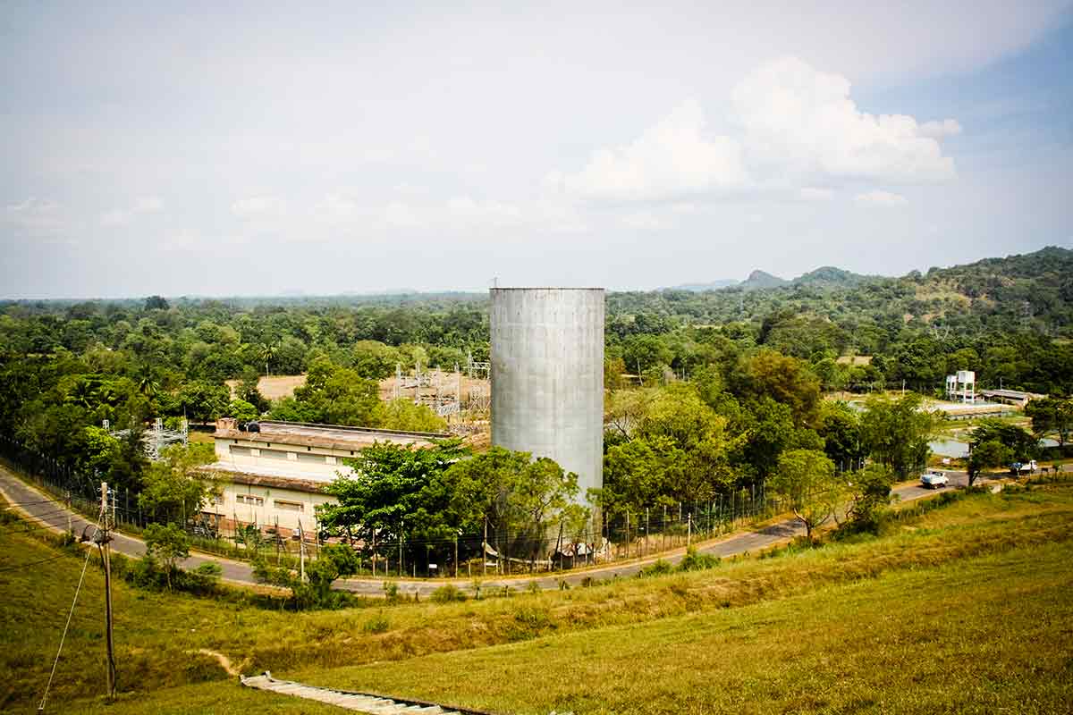
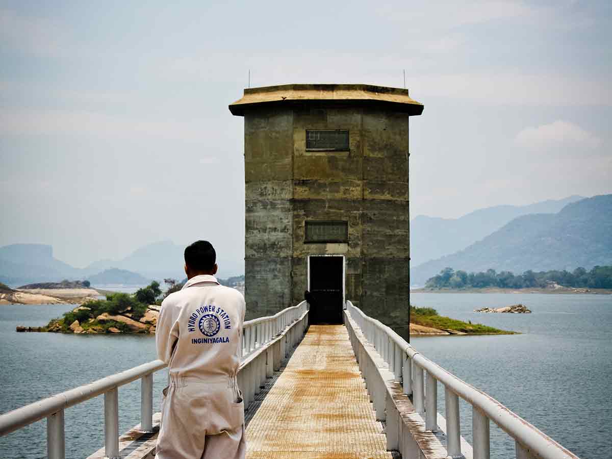
Intake object – height 50,7 m
Influent tunnel – diameter 4,0 m, length 220 m
Surge chamber – diameter 14,5 m, height 34 m
Control room – 51,5 x 25,3 x 25 m
Nominal head – 27 m
Max. Output – 14 MW
Local switch room – 6,9 kV/33 kV
National switch room – 33 kV/132 kV

Description
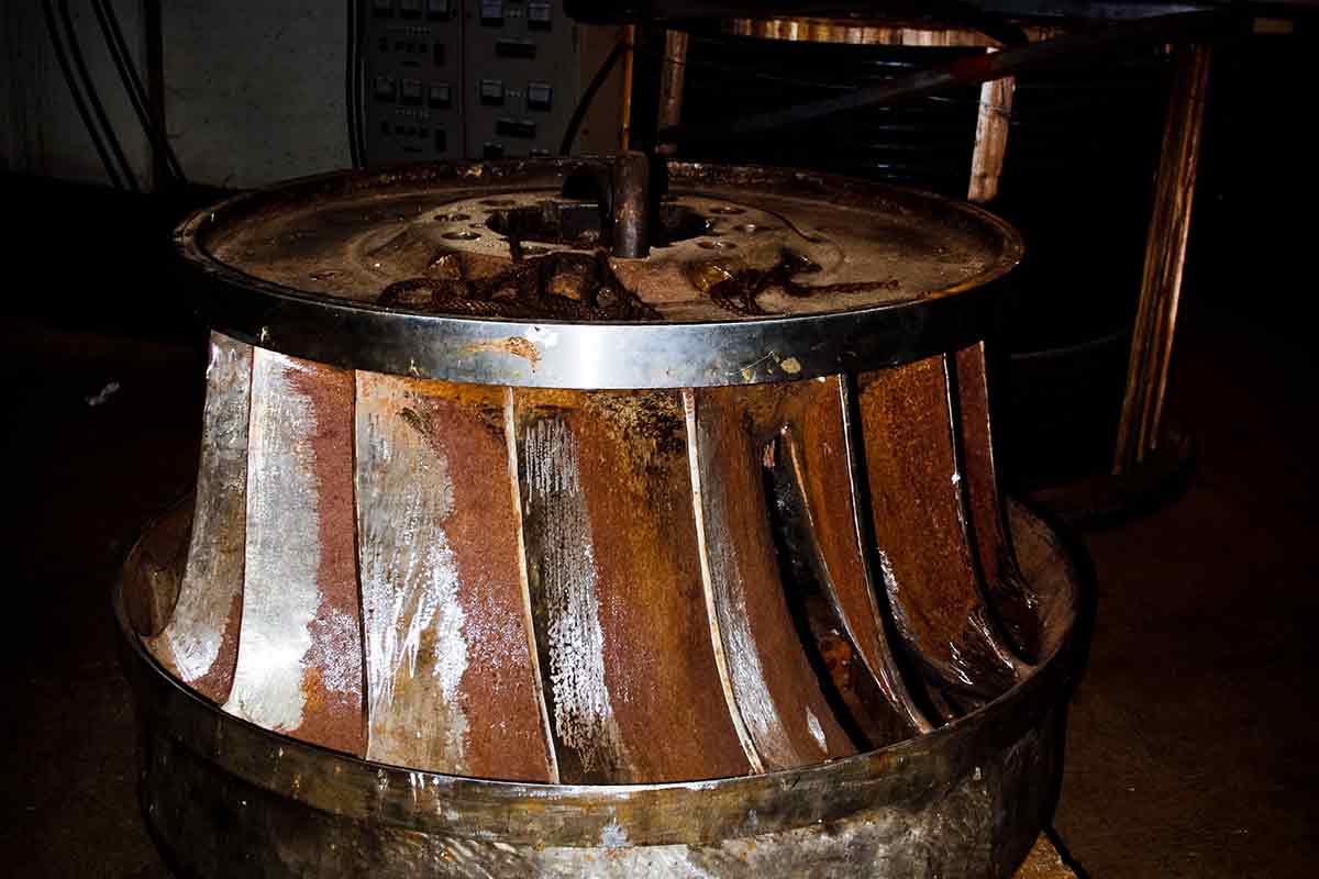
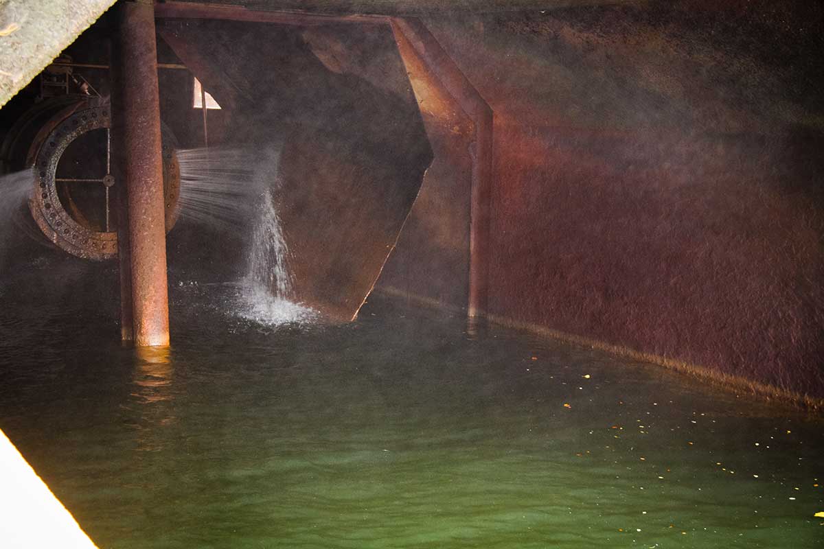
After more than 60 years of operation and low maintenance, the dam and hydropower plant Inginiyagala commissioned at the beginning of 50´s 20th century situated in province Uva on the Gal Oya River showed significant signs of wear and damage. The dam has multiple purposes – irrigation, flood protection, drinking water supply and hydropower. The scope of rehabilitation works covered the entire electro-mechanical equipment. A complete rehabilitation works of safety spillway, a part of the upstream face of the dam body, intake tower object with the following tunnel, surge chamber, powerhouse the stilling basin and dewatering channel with diversion outlet object were included into the scope of reconstruction works.
Inginiyagala dam represents one of the most important dams in the whole Sri Lanka and within the east part region is an absolutely fundamental hydraulic structure because of supplying a vast irrigation system. Inginiyagala earth dam is 47 m high and 1100 m long at crest; the power plant with 4 Francis turbines has a maximal power output 4x 3,5 MW at nominal head 27 m.
Responsible for the technical design, elaboration of a technical-economic assessment of 3 different scenarios of planned rehabilitation, site supervision including collection of input data and construction survey in order to assess the current state of the construction. The following inspection trip involved defining and managing survey works (geodetic, hydrological analysis and construction-quality survey), negotiation with local authorities and project management.