
Basic information
Libochovka, river km 2,500 – 8,200 – Study of sediment regime in the river basin
Country: Czech republic
Year: 2017 — 2018
Customer: Lesy České republiky, s.p.
Category: Environmental engineering, Dam engineering, Project management


Technical parametres
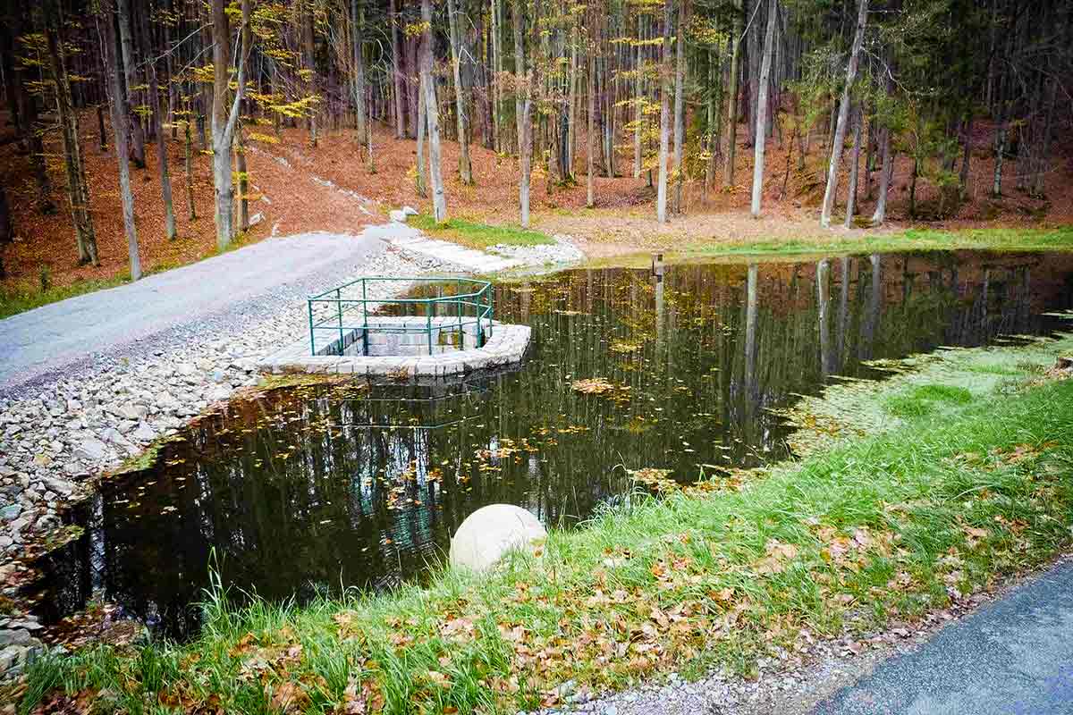
Starý rybník reservoir
Dam height – 3.6 m
Width at dam foot – 25 m
Reservoir volume – 16 300 m3
Nominal flood level – Q100 (13,5 m3/s)
Sediment volume at Q100 – 1257 m3
Bedrna reservoir
Dam height – 3.0 m
Width at dam foot – 21.7 m
Reservoir volume – 1730 m3
Nominal flood level – Q100 (7,8 m3/s)
Sediment volume at Q100 – 440 m3

Description
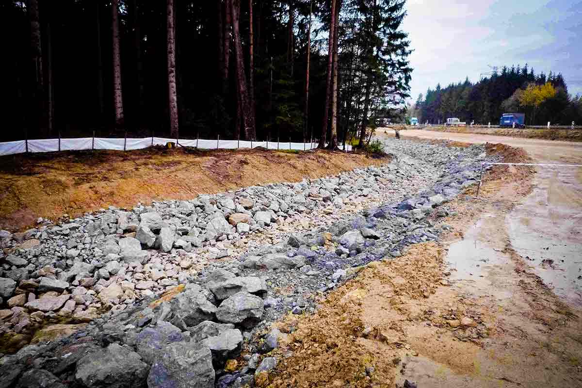
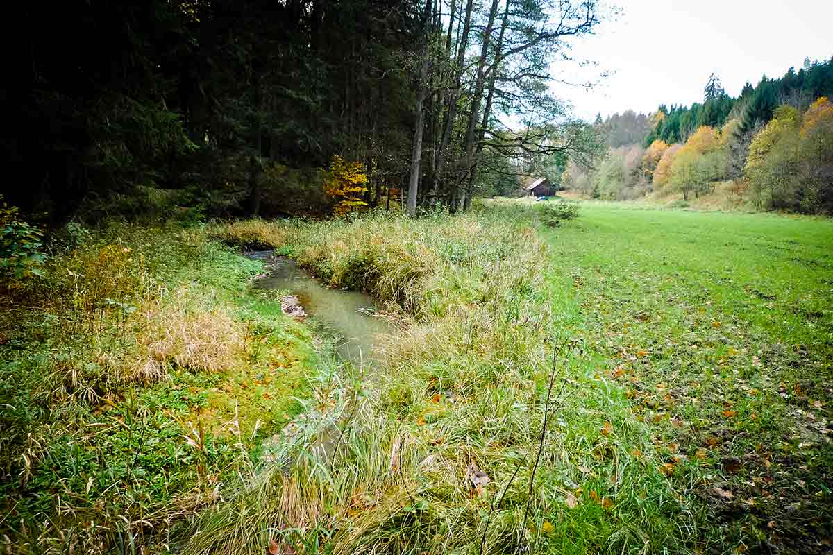
The aim of the study was to determine the sediment origin, calculae of average yearly sediment production in long-term average over one year and determine the volume of sediment at extreme hydrologic situation at Q100 against the profile of dam end of Kafírna reservoir at river km approx. 2,500. Measures for elimination of negative impacts of the sediment regime were proposed within the study.
The study aimed at identifying, firstly, the individual sources of sediment in the river stream, secondly to determine the origin of erosion and to propose efficient measures for sediment control of Kafírna reservoir and to prevent other begative impacts on the water streams. Based on the result of the river basin erosion risk analysis and sediment regime of the stream, appropriate measures were proposed both of the kind that eliminate the creation of sediment in the origin areas (e.g., erosion prevention measures on the Agricultural Land Resources and Land Determined to Fulfil Forest Function, stabilisation and control of gullies, stabilisation of concentrated runoff, proposal of consolidating steps, stream rehabilitation, etc.), and of the kind that mitigate the negative impact of sediment transport (e.g. sedimentation barrage with sufficient accumulation capacity).
The efficiency and ease of implementation of the proposed measures was furthermore evaluated and an investment costs for the construction were estimated.
Responsible for the area survey, elaborating the analyses and description of the sediment regime process on the water stream, including determining the volume of bottom sediment for two various hydrological regimes, identification of the risky areas, proposing various forms of rehabilitation measures with a subsequent detailed proposal including calculation of the expected investment cost. An integral part of the sediment process in the river basin was a mathematical precipitation-run-off model including a hydrological balance of individual tributaries to the main stream.